Mecsekerdő Zrt. organised a workshop with the title: Forestry Applications of Airborne Remote Sensing Techniques
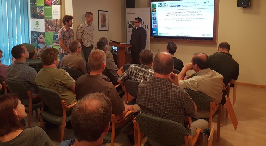
Within the scope of the INTERREG RED FAITH project organised by Mecsekerdő Zrt., the “Forestry Applications of Airborne Remote Sensing Techniques” workshop took place on 18th July 2018.
The focus of the professional day was on hyperspectral-, multispectral point cloud-based data, airborne remote sensing, pixel- and cloud-based vegetation mapping, that is, on the latest trends of spatial data application in forestry, on their operation and technological basis and on the experiences connected to them.
The interactive, seminar-like presentations were held by László Bekő, an assistant research fellow from the Remote Sensing Service Centre of the University of Debrecen and by Péter Enyedi, a LiDAR engineer of Envirosense Hungary Kft.
After the audience of experts for forestry, water conservancy and nature conservation had filled the auditorium, the participants could learn about the history of remote sensing, about the principles and possibilities of the current active and passive technologies and they got a short overview about their operation during the morning session. The audience could learn about the various UAV devices and planes used by the presenters and about the research tendencies carried out with these devices. The most important ones of them are the making and evaluation of orthophotos, the possible methods of applying the generated surface models based on the photos and the multispectral and LiDAR data collection. Part of the latest point was the presentation of both planes and professional sensors, through the application of which precision forestry mapping and data collection can be brought to a far higher level.
After a great lunchbreak consisting local products selected by the members of Mecsek Ökocsali, an early afternoon session with mixed contents started, where a member of Envirosense presented the spectacular results of their projects so far, then, after presenting different segmenting procedures, the complex, global information system-based examination of vegetation mapping relations was dealt with.
All in all, the workshop has proved that the area of remote sensing and global information system is extremely active in Hungary. Within this area, a successful co-operation between forestry management departments, universities and scientific institutions can be effectively realized by applying the latest devices and methods. The next workshop, which is planned to take place in winter of 2018, is going to concentrate on the presentation of the study results of more than 30% (15 241 hectares) of the Mecsekerdő Zrt. forest district. The integration of airborne laser mapping (LiDAR), airborne digital photography (making of digital orthophotos) and airborne hyperspectral imaging will be suitable - at least we hope so - to determine the woody vegetation structure of the examined area, thus to differentiate them on the level of species and to locate invasive wood species.